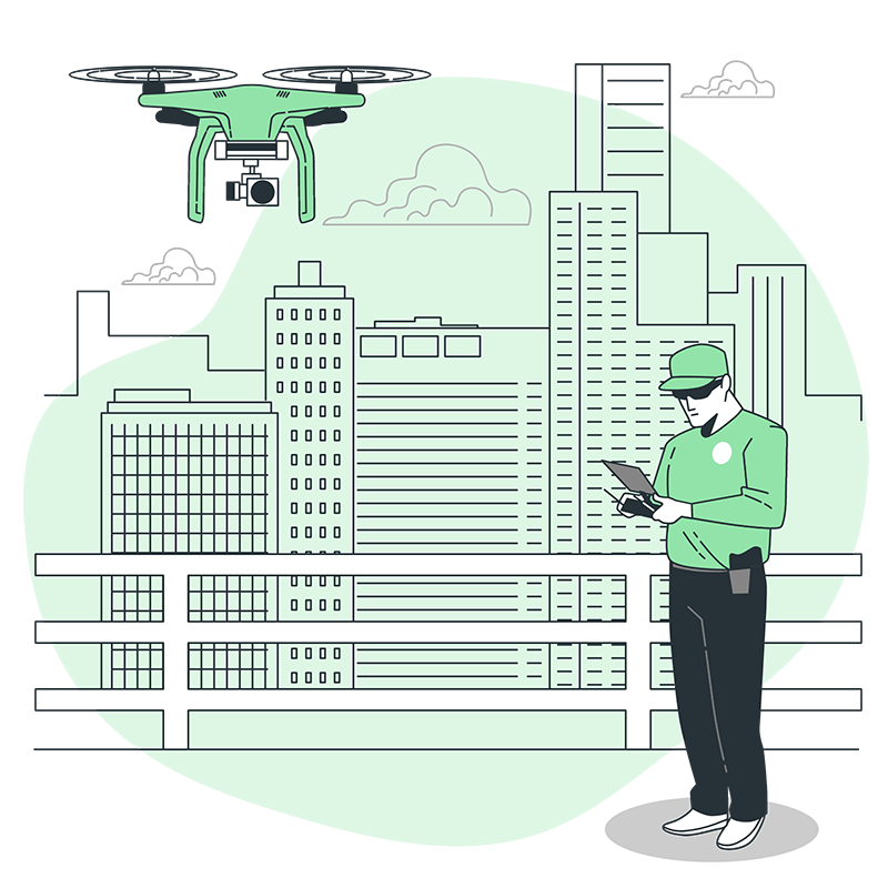
EvoqIndia, in partnership with The LightHouse IT Solutions, offers a range of land surveying and contour services powered by state-of-the-art drone cameras. Leveraging cutting-edge drone technology, EvoqIndia enhances the accuracy, efficiency, and effectiveness of land surveys. Additionally, they provide various other drone services catered specifically to land survey requirements.
Drone-Powered Land Surveys and Contour Services:
The collaboration between EvoqIndia and The LightHouse IT Solutions enables the utilization of advanced drone cameras for conducting land surveys and contour services. Equipped with cutting-edge technology, these drones capture high-resolution aerial imagery and collect precise data points, enabling detailed mapping, measurements, and contour generation. By leveraging drone cameras, EvoqIndia ensures that land survey reports are accurate, comprehensive, and reliable.
Advantages of Drone Technology in Land Surveys:
Integrating drone cameras into land surveys offers numerous benefits:
1. Enhanced Efficiency: By utilizing drones, EvoqIndia significantly improves efficiency in land surveying. Drone cameras automate the data collection process, eliminating the need for manual measurements and observations. This streamlines the surveying process, resulting in quicker project completion.
2. Greater Accuracy: Drone cameras capture detailed aerial imagery and collect precise geospatial data points. This accuracy ensures that measurements, mapping, and contour generation are highly reliable, facilitating more accurate decision-making for clients.
3. Accessibility to Challenging Areas: Drones provide access to areas that are otherwise difficult or dangerous for surveyors to reach. Whether it's steep terrains, dense vegetation, or remote locations, drones can navigate and collect data effectively, ensuring comprehensive coverage of the property.
4. Cost-Effectiveness: The adoption of drone technology in land surveys lowers overall project costs. With faster data collection and reduced manpower requirements, EvoqIndia can offer more cost-effective services to clients without compromising on accuracy or quality.
Additional Drone Services for Land Surveys:
Apart from traditional land surveying and contour services, EvoqIndia extends its drone expertise to provide additional services including:
1. Aerial Photography and Videography: Utilizing drone cameras, EvoqIndia captures stunning aerial photographs and videos of properties from unique perspectives. These visuals can be utilized for marketing, promotional materials, or documentation purposes.
2. 3D Mapping and Modeling: EvoqIndia employs drones to create precise 3D maps and models of properties. This enables clients to visualize the terrain, property features, and potential development plans more effectively.
3. Environmental Assessment: Drones assist in environmental assessments by capturing aerial footage and data for ecological analysis. This data helps identify environmental factors and potential concerns, aiding in sustainable development practices.
Conclusion:
The collaboration between EvoqIndia and The LightHouse IT Solutions offers advanced drone-based land surveying and contour services to clients. By leveraging drone cameras, EvoqIndia enhances accuracy, efficiency, and accessibility in land surveying processes. Additionally, their comprehensive range of drone services, including aerial photography, 3D mapping, and environmental assessments, ensures clients receive tailored solutions for their specific land survey requirements. With their expertise, EvoqIndia and The LightHouse IT Solutions pave the way for innovative and reliable land surveying services in the industry.